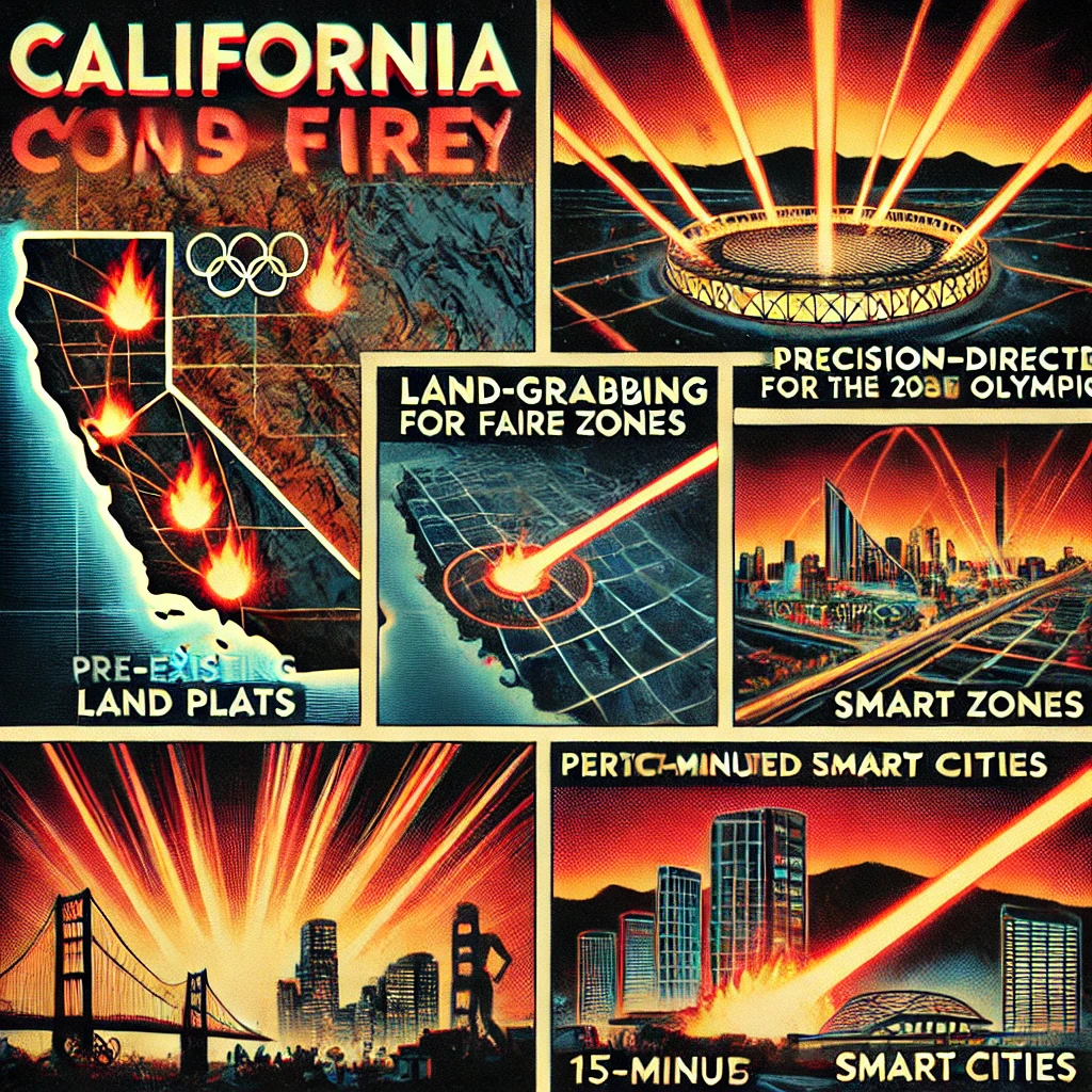
LA Wildfires abide 15 minute smart city land grab plans
Same as Lahaina, Paradise, and many other DEW attack sites; sometimes the land is grabbed for other reasons including high-speed transit, natural resources, etc.
The idea that California wildfires are a pretext for land acquisition to prepare for the 2028 Olympics and 15-minute smart cities involves a theory suggesting intentional targeting of specific areas. Below is an expanded explanation based on this premise:
Land-Grabbing and 2028 Olympics
- Strategic Locations:
- Areas affected by wildfires often coincide with desirable land for development. These zones may include high-value real estate or locations earmarked for infrastructure projects tied to the 2028 Olympics.
- The Olympics require substantial urban development, including new facilities, housing, transportation systems, and public spaces. Removing existing structures or communities through fire simplifies acquisition and clears regulatory hurdles.
- Fire Zones and Pre-Existing Plans:
- Land plats and development proposals are theorized to pre-date the wildfires. If overlaid with fire maps, these plats allegedly match areas that have been cleared by the fires, suggesting intentional targeting.
- This alignment implies a premeditated plan to transform these areas into venues, transportation hubs, or ancillary facilities for the Olympics.
15-Minute Smart Cities
- Definition and Objective:
- A 15-minute city is an urban model where residents can access all essential services—work, healthcare, education, and entertainment—within a 15-minute radius. This model requires a compact, highly planned urban infrastructure.
- Wildfires are theorized to serve as a mechanism to depopulate and clear land for such developments.
- Land Clearance for Urban Planning:
- By destroying existing structures and displacing residents, wildfires eliminate obstacles to implementing new zoning laws or redevelopment projects.
- This enables the transition to high-tech urban hubs with integrated smart grids, autonomous transportation, and centralized services.
- Forced Relocation:
- Survivors of wildfires are often displaced to temporary housing or other regions, facilitating the acquisition of their former properties.
- Insurance payouts or buyouts might make rebuilding unaffordable, pushing property owners to sell at below-market rates.
Alignment of Fire Zones with Development Plans
- Pre-Existing Plats:
- Development proposals, zoning changes, and urban planning documents may coincide with areas affected by wildfires, suggesting these zones were predetermined for redevelopment.
- Satellite imagery, public records, or leaked documents could reveal these overlaps, supporting the claim of targeted destruction.
- Precision of Fire Damage:
- Reports of certain properties or areas being spared while surrounding regions are devastated fuel suspicions of selective targeting. DEWs, as hypothesized, could enable this level of precision.
- Patterns of destruction may correlate with land maps, reinforcing the idea that fire zones were chosen for strategic reasons.
Implementation Tools
- Microwave and Laser-Based Directed Energy Weapons:
- DEWs are believed to enable precise ignition, ensuring the destruction of targeted zones while sparing areas designated for preservation or strategic purposes.
- Economic and Political Influence:
- Developers, government agencies, or private corporations could coordinate to ensure fire-affected zones are prioritized for redevelopment. Lobbying, legal changes, and funding allocations might support this effort.
Conclusion
The alignment of fire zones with development plats, coupled with the vision for the 2028 Olympics and 15-minute cities, suggests a calculated approach to land acquisition and urban transformation. If intentional, these actions could represent a large-scale, covert operation to reshape the landscape under the guise of natural disasters.
